The yellow warning will be in effect between 10 am on Friday and 6 am on Saturday, July 26th.
The IPMA also placed the district of Lisbon under a yellow warning between 2 pm today and midnight on Thursday, July 24th, due to the forecast of strong winds, with gusts of 70 kilometres per hour, especially in the coastal areas and mountains.
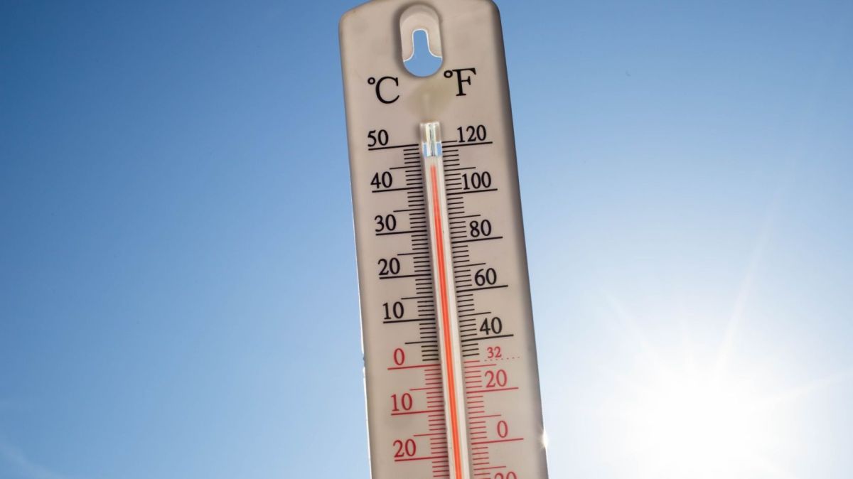
The Institute predicts a rise in temperatures starting Thursday, which could exceed 40 degrees Celsius in some regions of mainland Portugal, especially in the interior.
"The anticyclone located southwest of the Azores region is expected to gradually move eastward/northeastward, intensifying and gradually extending as a ridge toward the Bay of Biscay from the 24th onward, and eventually toward Central Europe from the 25th or 26th onward," the IPMA said in a statement.
The IPMA adds that this situation, "together with a depression region between North Africa and the Iberian Peninsula, is causing hot, dry air masses to be transported over mainland Portugal from the interior of the Iberian Peninsula, which, from the 26th onward, will also tend to affect the Madeira archipelago."
Therefore, a significant rise in air temperatures is expected starting Thursday, with maximum temperatures above 30 degrees Celsius in most of the mainland, and possibly reaching 40 degrees Celsius in some locations, particularly in the interior of the southern region and the Tagus Valley.
Minimum temperatures are expected to exceed 20 degrees Celsius in some inland areas, particularly in the southern region, the Tagus Valley, and Beira Baixa.
The forecast also predicts an intensification of winds along the western coast and in the highlands starting today, which will be moderate to strong from the north/northwest, sometimes with gusts.
In the Madeira archipelago, maximum temperatures "could hover around or even exceed 30 degrees Celsius, especially on the southern slopes and in mountainous regions."


