According to a statement from the Portuguese Institute of the Sea and Atmosphere (IPMA), depression Ciarán, designated by the United Kingdom Meteorological Service, is moving along the Atlantic towards the east, and by the early hours of Thursday “should be centered west-southwest of the British Isles”, with an impact on these islands, “particularly in terms of wind”.
“The Ciarán depression itself will not affect mainland Portugal, although side effects are expected, due to a frontal system that is associated with it, and which will cross the mainland during the early hours and morning of November 2nd,” reads the note.
Thus, from the end of the afternoon on Wednesday and throughout Thursday “an increase in the intensity of the wind is expected, which will blow from the southwest on the coast, especially on the west coast, and in the highlands, with gusts from order of 70/80 kms[kilometers])/hour and 90/100 kms/h, respectively”.
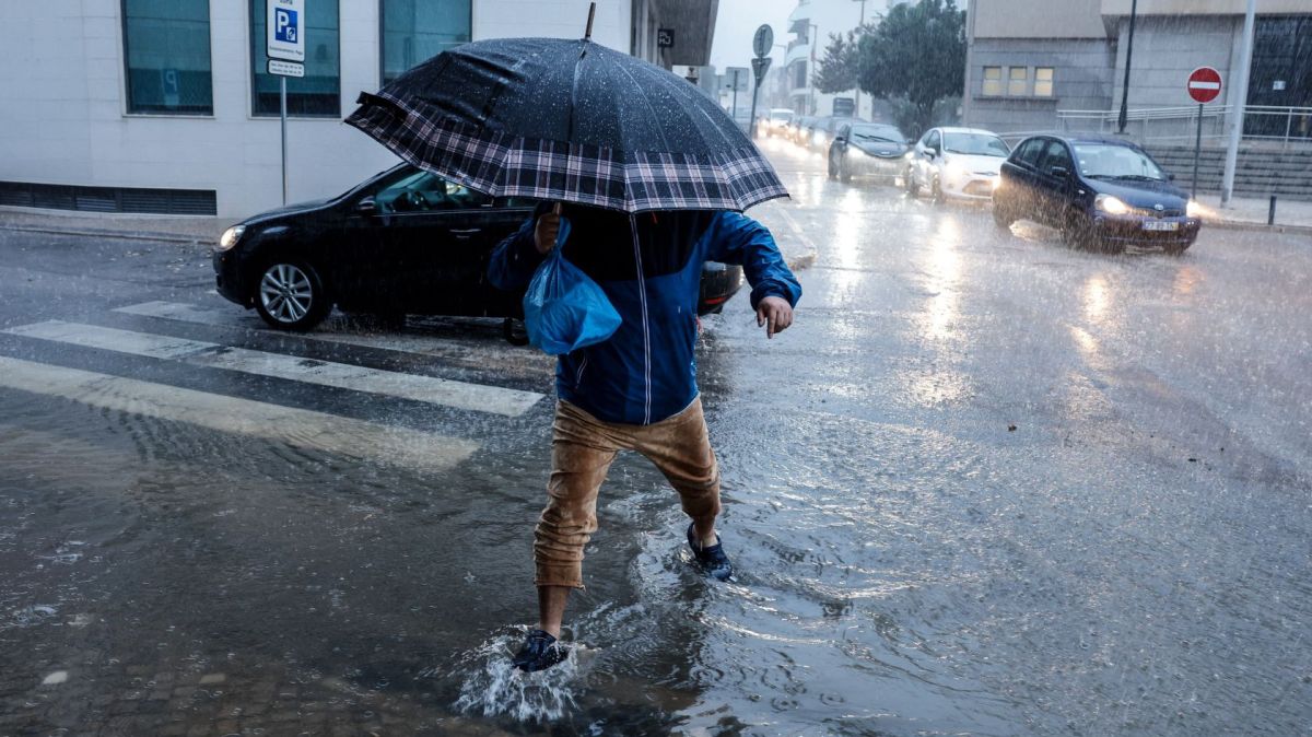
“Sometimes heavy precipitation is also expected, especially in the North and Centre regions, where it is expected to be persistent”, adds the IPMA.
Additionally, the institute predicts that “there will be a very significant increase in sea agitation on the 2nd on the west coast, where the waves are expected to be from the northwest and reach five to seven meters in height, with a high probability of exceeding seven meters, namely north of Cabo Raso”.
“This episode should last until November 6th”, estimates IPMA.
Seven districts on the continent will be under an orange warning on Thursday due to the forecast of strong maritime unrest, the IPMA indicated today.
The districts of Porto, Viana do Castelo, Lisbon, Leiria, Aveiro, Coimbra and Braga will be under orange warning between 03:00 and 06:00 on Thursday due to sea unrest, with northwesterly waves expected with five to seven meters, reaching a maximum height of 14 meters.


