The meteorologist from the Portuguese Institute of the Sea and Atmosphere (IPMA) told Lusa that the weather will change on Wednesday, after days of above-average temperatures, due to an anticyclone located north of the Iberian Peninsula.
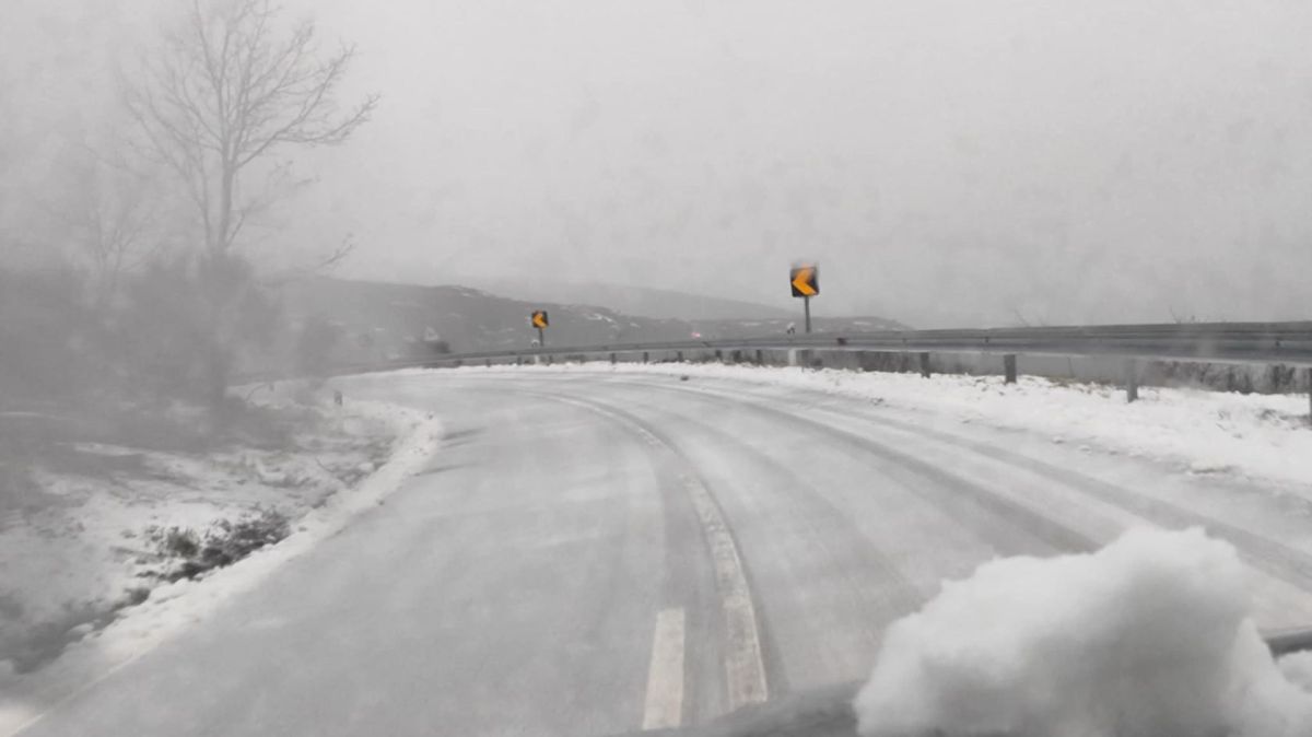
“Tomorrow [Wednesday] we will have a more widespread decline with temperatures dropping. The minimum will decrease by 5 to 8 degrees in most of the country and the maximum by 3 to 6 degrees. We will feel an increase in thermal discomfort due to the increase in wind intensity,” he said.
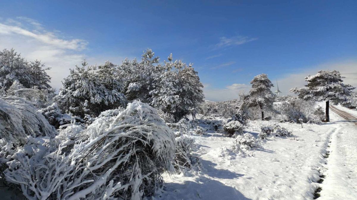
According to the meteorologist, there is also the possibility of snowfall above 1,200 and 1,400 meters on Wednesday.
“Wednesday will be the day on which we will notice the drop in temperature the most because we have had temperatures that have been above average for the month of December,” he said.
On Thursday, according to Bruno Café, there will be a drop in the minimum again, with some variations the following day, but nothing sharp.
“It will be cold and dry days with slightly cloudy skies. These are temperatures within the average for the month of December”, he indicated.
According to Bruno Café, today, due to the passage of a cold front, periods of rain are still expected, mainly on the north coast, progressing from north to south.
"Most of the precipitation will be in the north and centre, then changing to showers," he said.