
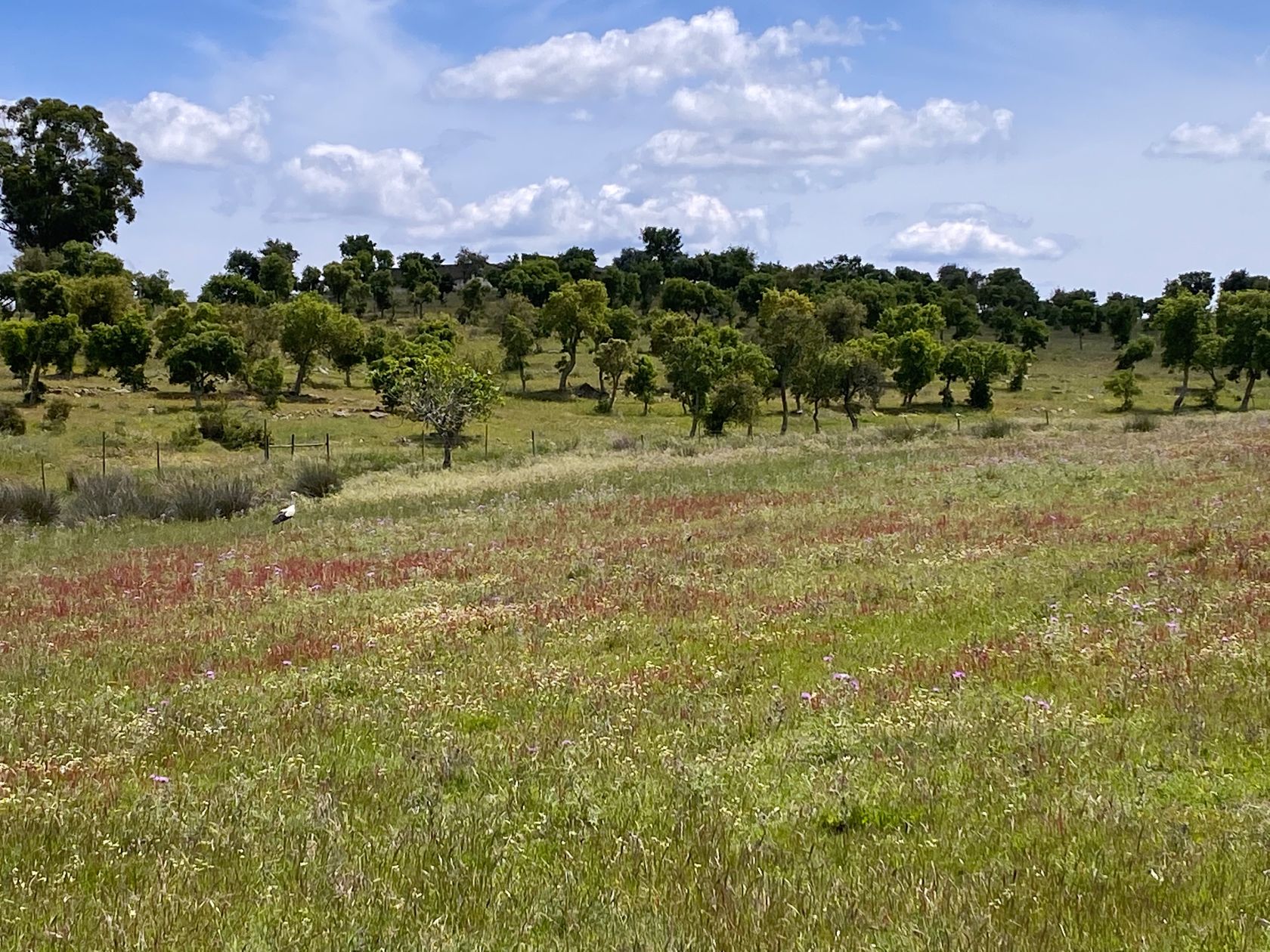
The OS’s new Field Boundary layer on maps covers rural and moorland across Great Britain. It pinpoints the nature of field boundary features, differentiating between stonewalls and hedgerows, for example.
The changes aim to support nature-based solutions for land management, carbon accounting, and policymaking.
The Peak District National Park plans to use the new Field Boundary data to track changes in the landscape which to date has only been possible by scrutinising satellite images or making site visits.


