According to a statement from the Portuguese Institute of the Sea and Atmosphere (IPMA), “the weather in mainland Portugal has been influenced by a mass of polar air, which has given rise to temperatures slightly lower than normal for the time of year”.
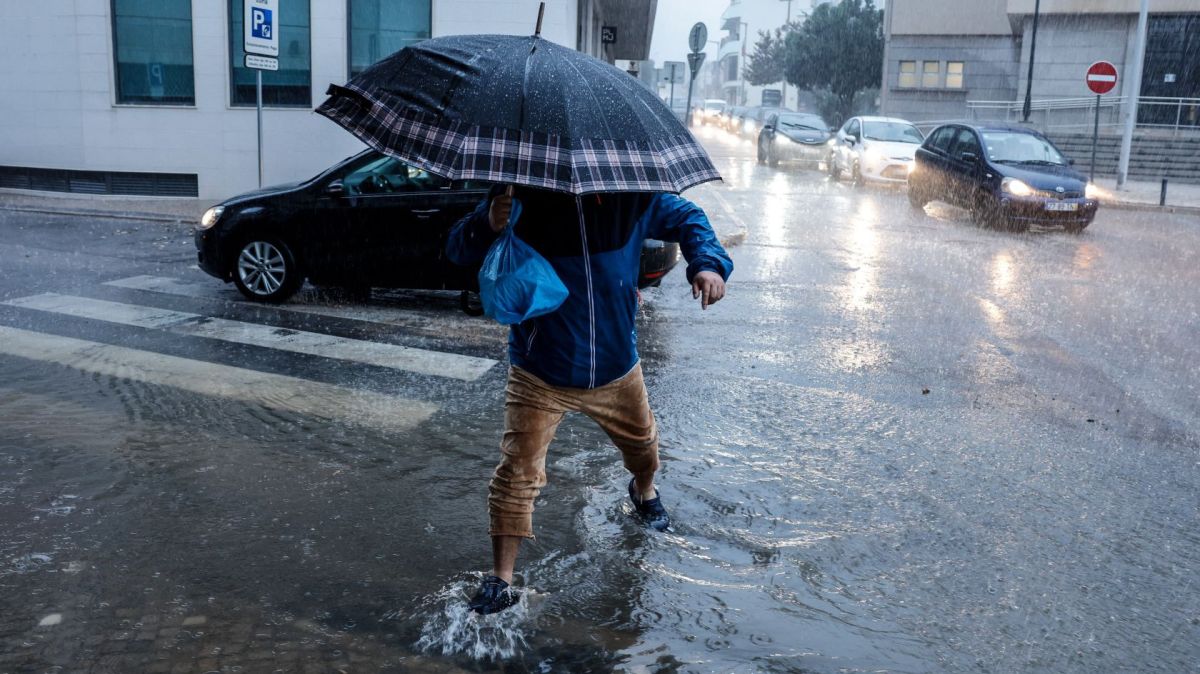
Today “this air mass will be temporarily replaced, essentially in the Central and Southern regions of the continent, by another of warmer maritime origin, transported by a depression centered to the west/northwest of the Iberian Peninsula”, which will cause “cloudiness and precipitation and a rise in the minimum temperature” on Tuesday, said the IPMA.
According to the note, starting late Wednesday afternoon, “a mass of continental polar air, originating in Scandinavia, will gradually invade the north of the Iberian Peninsula, and later the south, resulting in a further drop in temperature” on Thursday.
“Thus, on the 11th, minimum temperatures are expected to be between -5 and 0°C in the North and Central interior, between 1 and 5°C in the South interior and North and Central coast, and up to 8°C on the South coast”, reads the statement.
IPMA added that, on Friday, “a further drop in the minimum temperature is expected, of the order of 2 to 4°C, meaning values of up to -8°C could be reached in some places in the northeast of Trás-os-Montes and Beira Alta, and close to 0°C in several places on the coast, especially in the North and Center”.
“As such, the formation of ice or frost is expected, especially in the North and Center interior, where it will have a more significant impact on road traffic”.
For Thursday and Friday, forecasts indicate that “the maximum temperature should vary between 4 and 8°C in the North and Center interior, and between 8 and 14°C in the South interior and coast, and should be below 4°C in some places in the northeast of Trás-os-Montes and Beira Alta, particularly in the highlands”.
“For this reason, it will be likely that a cold weather warning will be issued from the 11th for the districts of Bragança, Vila Real, Guarda and Viseu, which could eventually be extended to other districts”, admitted the IPMA, highlighting that it was issued a yellow warning for snowfall for the mountains in the extreme north, above 600/800 meters in altitude.
The institute stressed, however, “that there is uncertainty in the location of precipitation, so a slight deviation will be enough to impact the snow forecast, and it is advisable to monitor forecasts and issue meteorological warnings in the coming days”.


